Updates
North Half of the Selway Bitterroot: A New Map!
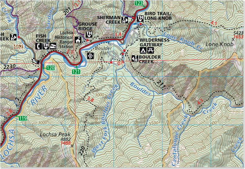
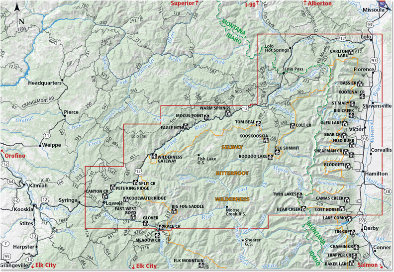
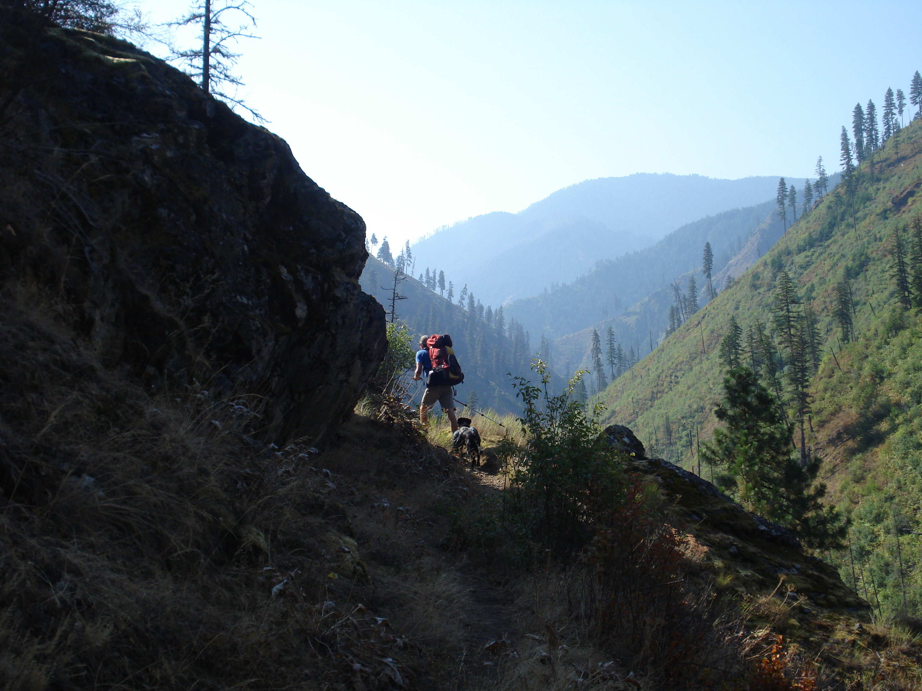
We are so excited to announce the release of our fifth map- The North Half of the Selway-Bitterroot Wilderness! This map straddles the Montana-Idaho border and covers well over half of the Selway Bitterroot Wilderness. This is a spectacular area and we had some amazing experiences while we were out gathering data for this map. Grab a copy and head out there!
Included on the map:
- Highway 12 from Lolo, Montana to Lowell, Idaho
- Highway 93 from Lolo, Montana to the Lost Horse Road
- The Bitterroot Range from Lolo Peak South to the Twin Lakes Trailhead and the Lost Horse area
- Bitterroot Canyons between Hamilton and Lolo Including Blodgett and Kootenai Creeks
- The Selway Road from Highway 12 in Lowell to Race Creek Trailhead
- The Selway River from the Confluence with the Clearwater upstream to Moose Creek
- Moose Creek Ranger Station
- Elk Summit area
- Jerry Johnson, Stanley and Weir hot springs
Hey! I LOVE these maps!
I need one for the Salish mountain range: Chapaaq’n pk, Hewolf, 3Lakes /Magpie/Revais area up into HotSprings’ Baldy Mountain and north to Naiarada, over to Plains! When?! Thanks!
Hi Lori- We’re glad you like our maps! That is a great area but we don’t have any plans to make a map of that area. Your best bet for that area the Lolo National Forest maps.